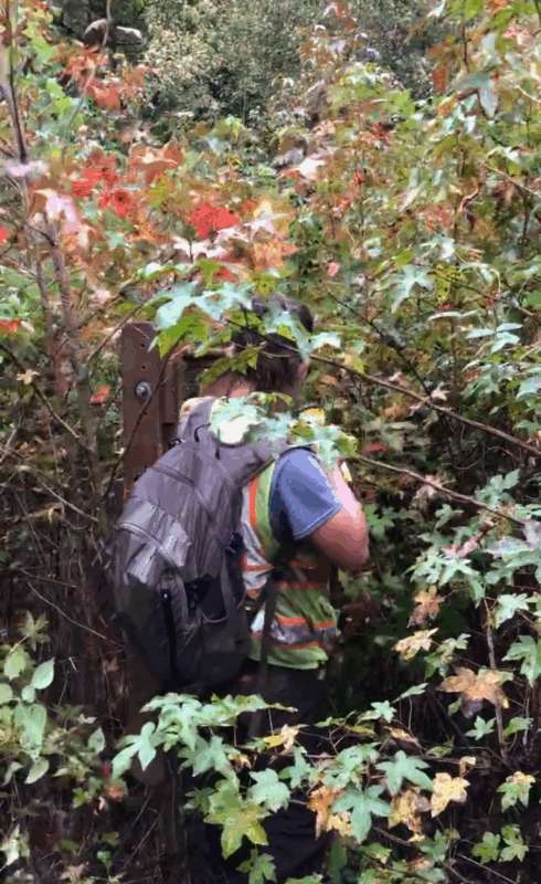
Imagine you’re in the field on a Phase I archaeological survey. Your crew chief has been walking ahead with the GPS, using flagging tape to mark where to dig your next shovel test pit. Surely you can walk in a straight line and find the flagging tape, right? When you’re in an open field navigating is easy. But what happens if you’re in the woods? And what happens when the woods look like this?
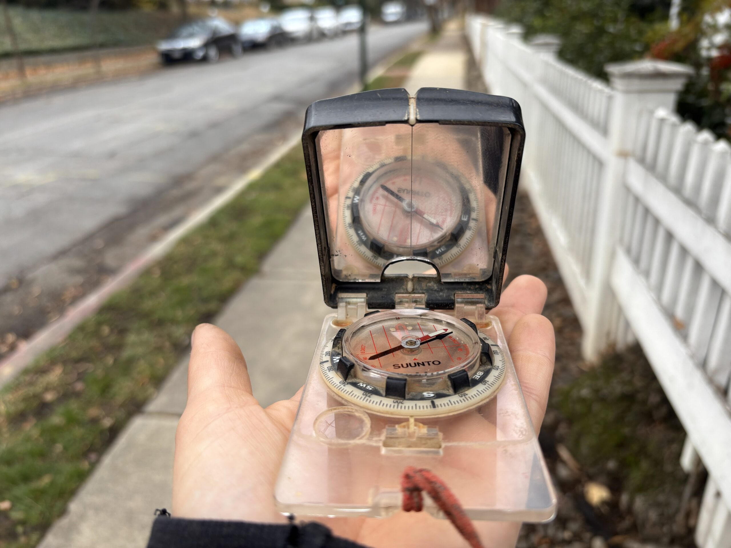
Embrace Tradition, Use a Compass
You probably already know what a compass is and how it works, so we won’t bore you with those details. But you may be wondering why we use 2,000-year-old technology when we all have a GPS on our phone. In reality, we use both, but compasses are cheap and reliable. With a compass we don’t need to worry about dead batteries or bad service.
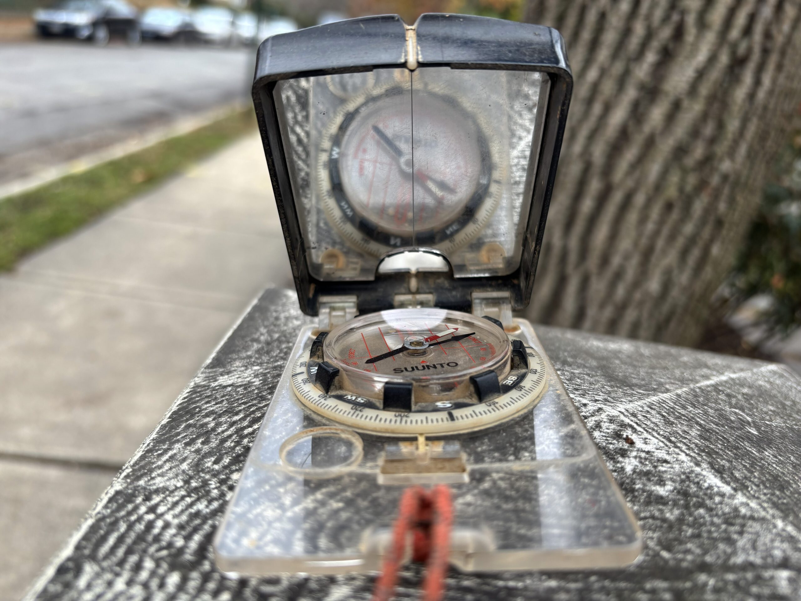
Before you get the impression that our field technicians are in danger of getting lost in the woods, let’s talk about the main purpose of the GPS and the compass. The majority of archaeological surveys are based on a grid so we can be sure that we are systematically surveying the property. On a Phase I archaeological survey, the study area is tested in intervals depending on your local jurisdiction. In Maryland, a shovel test pit is every 15 meters. We establish a grid that is made up of transects. A transect is essentially a line of shovel test pits, each spread 15 meters apart.
We use the GPS to make sure we’re staying in the boundaries of our survey area and for the Crew Chief to be able to organize the survey grid. The compass is a real time reliable tool for maintaining the property spacing between transects. The method is similar on a Phase II archaeological investigation or a Phase III data recovery. These excavations cover less ground but still require us to dig in a specific location as defined by the grid.